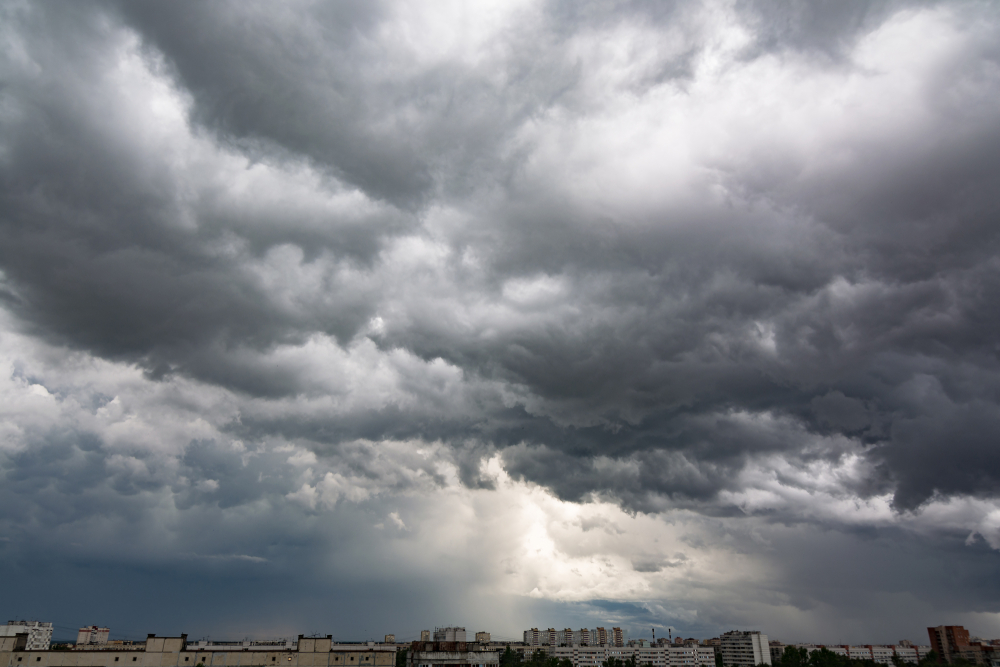
AFTER the heat waves that have devastated Spain recently, the country must now prepare itself for the arrival of a polar jet that will bring a drop in temperatures, along with a DANA.
As the weather experts from Meteored explained this Monday, July 24: ‘Several troughs will arrive from the Atlantic that will leave a more unstable environment in some regions, and also a thermal decrease. A DANA will even arrive on the Peninsula in the middle of the week from Madeira‘.
A DANA is an isolated high-level depression, the result of a collision between a mass of cold air at high altitudes with warm air from the surface which usually gives rise to downpours and storms.
However, this does not mean that the heat is gone. ‘We will also have warmer and more stable days, with intense heat being the most notable aspect’, they stressed.
Temperatures are expected to drop across the board in almost the entire country today: ‘Due to the arrival of a softer Atlantic air mass’.
Warm air will persist in areas of the Mediterranean coast and the Balearic Islands though, which could leave temperatures of up to 40°C in the Region of Murcia, Alicante, and Valencia. Nighttime values could remain quite high they warned.
En esta primera parte de la semana las temperaturas diurnas descenderán de forma generalizada ????, situándose por debajo de la media en gran parte del país.
Hoy todavía se alcanzarán los 40 ºC en puntos del sureste. Las noches seguirán siendo duras ???? en algunas zonas. pic.twitter.com/0v8nZKEAN6
— Meteored | tiempo.com (@MeteoredES) July 24, 2023
Rain is expected in: ‘Galicia, the Cantabrian coast, northern Castilla y León and the Iberian System, occasionally with a storm and of a certain intensity’, Meteored pointed out.
Tuesday, July 25
On Tuesday, temperatures will continue to drop in practically the entire country. It is likely that there will be light rainfall in the north of Galicia and on the Cantabrian coast.
‘The storms in Catalonia and the Pyrenees will be repeated, without ruling out that they will occur more occasionally in the Valencian Community and the Balearic Islands’, the experts added.
Thursday, July 27
A DANA is expected to arrive in Spain on Thursday. ‘It will approach from the west of the Peninsula, explained the experts. As the day develops: ‘irregular showers and storms will appear in the interior’. This meteorological situation could become complicated in: ‘the Pyrenees, Navarra, Aragon and Catalonia’, they added.
Friday, July 28
A front will bring rain to the northwest on Friday, while throughout the day ‘showers and storms could occur in the northern half’.
In a tweet, Meteored wrote: ‘In the next few days several troughs and even one #DANA will visit us, so we will talk about showers and #tormentas in some regions. They will be more general and intense in the north, although they will also reach the east and #Baleares’.
En los próximos días nos visitarán varias vaguadas e incluso una #DANA
, por lo que hablaremos de chubascos y #tormentas en algunas regiones.
Serán más generales e intensos
en el norte, aunque llegarán también al este y #Baleares.
???? https://t.co/YmmICKUMeF pic.twitter.com/RldVVszIBz
— Meteored | tiempo.com (@MeteoredES) July 24, 2023
Stay connected with us on social media platform for instant update click here to join our Twitter, & Facebook
We are now on Telegram. Click here to join our channel (@TechiUpdate) and stay updated with the latest Technology headlines.
For all the latest World News Click Here
