I am sure you have your favorite word or phrase for our oppressive heat! So do I: oppressive, sticky, stifling, yucky. I will stop there… LOL!
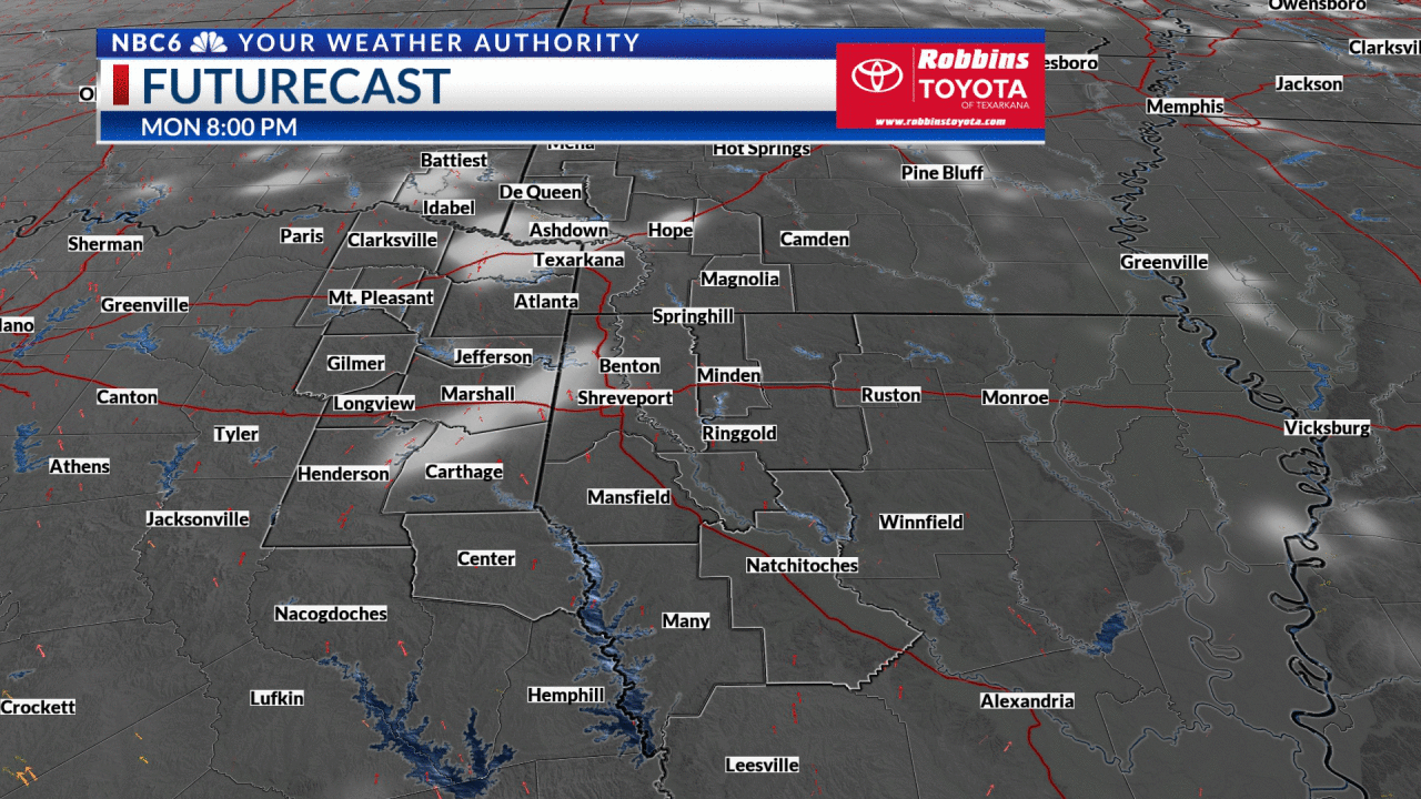
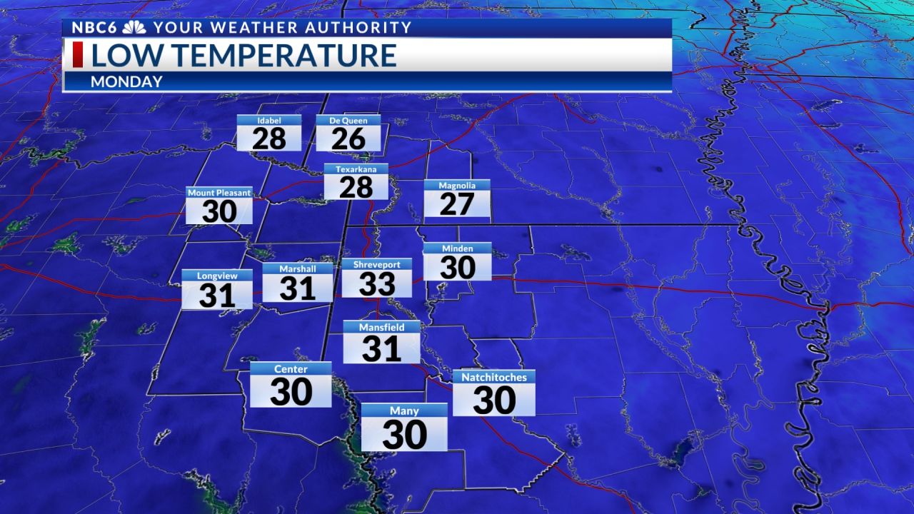
A pesky and persistent stationary front continues to meander between the northern and southern Arklatex. A blocking pattern will keep us under a dome of high pressure which will lead to intense heat and the aforementioned front will be the focus for random storms, some strong, similar to what we experienced last night. Of course, drier air will reside north of our front while moisture-rich air resides to the south. It appears that heat advisories and excessive heat warnings will be the rule almost daily south of the stationary front as long as it lasts. And it may not be that long.
We should see the upper-level blocking low-pressure system to our east begin to shift farther away from us. This could allow drier air to move in as the high pressure to our southwest starts to produce a northwesterly flow.
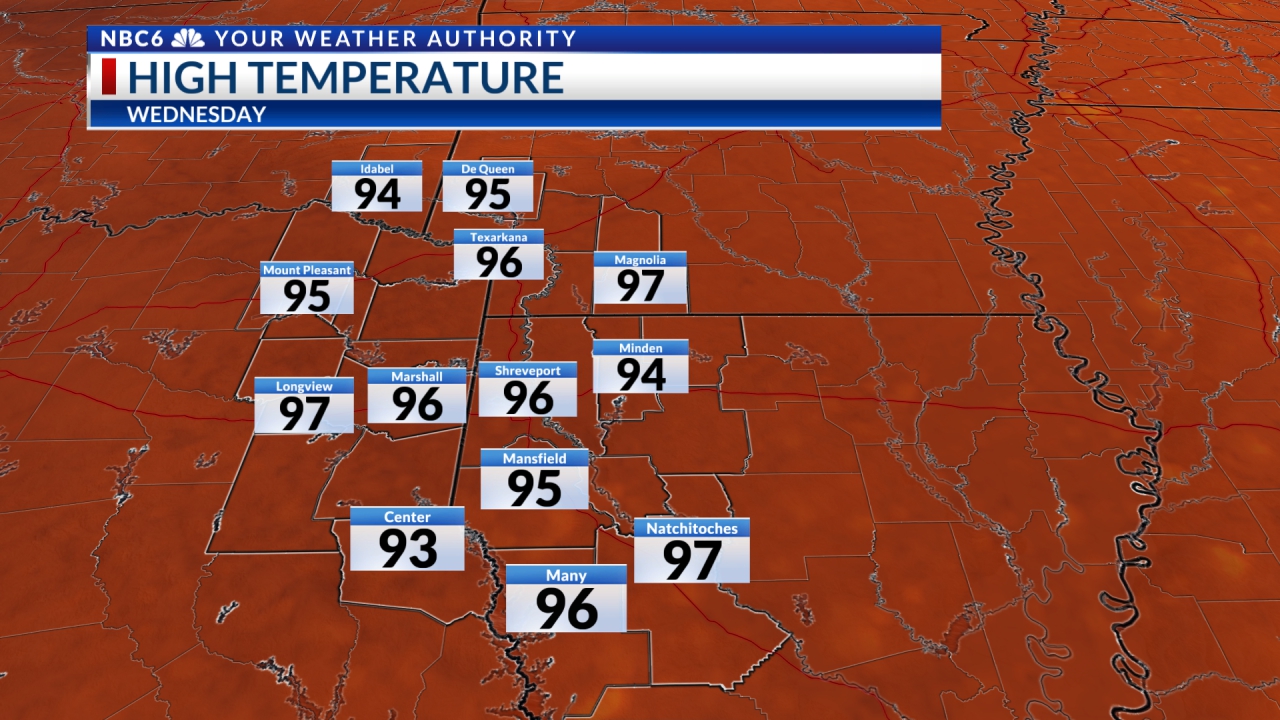
Afternoon high temperatures, according to the 7 Day Forecast, could be more comfortable and cooler Wednesday through Friday. And that is provided that our stationary front falls apart. Enjoy those few days of “relief.” Oppressive heat (or whatever you prefer to call it) will return by next weekend.

Stay connected with us on social media platform for instant update click here to join our Twitter, & Facebook
We are now on Telegram. Click here to join our channel (@TechiUpdate) and stay updated with the latest Technology headlines.
For all the latest For News Update Click Here