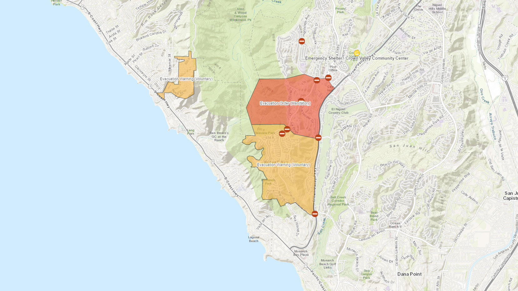
Mandatory and voluntary evacuations were underway for parts of Orange County as a destructive wildfire continued to spread along the coast Wednesday night.
The blaze, dubbed the Coastal Fire, had burned about 200 acres near Laguna Beach and Laguna Niguel. More than a dozen homes in the area were destroyed as flames reached into residential neighborhoods.
Below is an interactive map provided by the Orange County Sheriff’s Department of evacuations, road closures and shelters.
Click the menu on the top left for a legend, and check back as this map continues to be updated.
If you are on a mobile device or tablet, use two fingers to zoom in and out of the map.
If you are unable to access the map, you can call the public information hotline at 714-628-7085.
More information on the Coastal Fire can be found on the sheriff’s website at ocsheriff.gov/coastalfire.
Stay connected with us on social media platform for instant update click here to join our Twitter, & Facebook
We are now on Telegram. Click here to join our channel (@TechiUpdate) and stay updated with the latest Technology headlines.
For all the latest For Top Stories News Click Here
