It appears that Tuesday through Thursday holds back to back weather events. The first will be relatively benign while the second could be troublesome. I will try to make this complicated forecast as simple as possible.
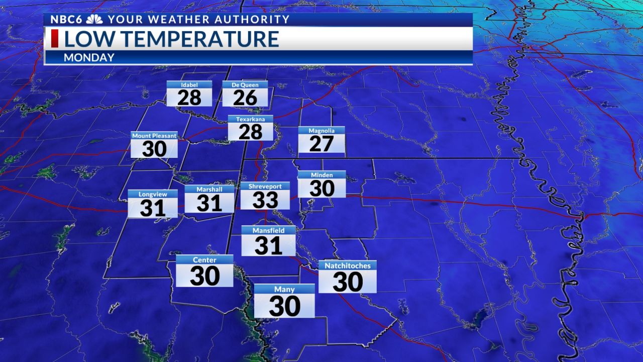
It has been a great Sunday with tons of sun. Thank you, high-pressure! And a reinforcement of high pressure will make Monday a very nice day as well. Morning lows will be either side of 40° and afternoon highs will be either side of 70°.
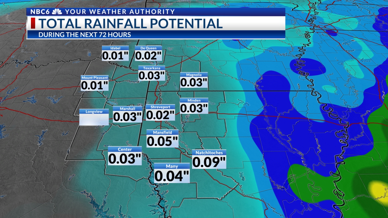
Unfortunately, that high will move well to our east and, in turn, a strong southerly flow will increase our warmth and atmospheric moisture. Clouds will be on the increase, as well. A surface low and attendant Pacific cold front, along with an upper level low, will take aim on the ArkLaTex. Rain and a few rumbles will be found in the wee hours of Tuesday morning through most of Tuesday. Severe weather is not expected. However, it does appear that Tuesday will have exceedingly gusty south winds. Do be prepared for the wind! There will be no cool down with the pacific front.
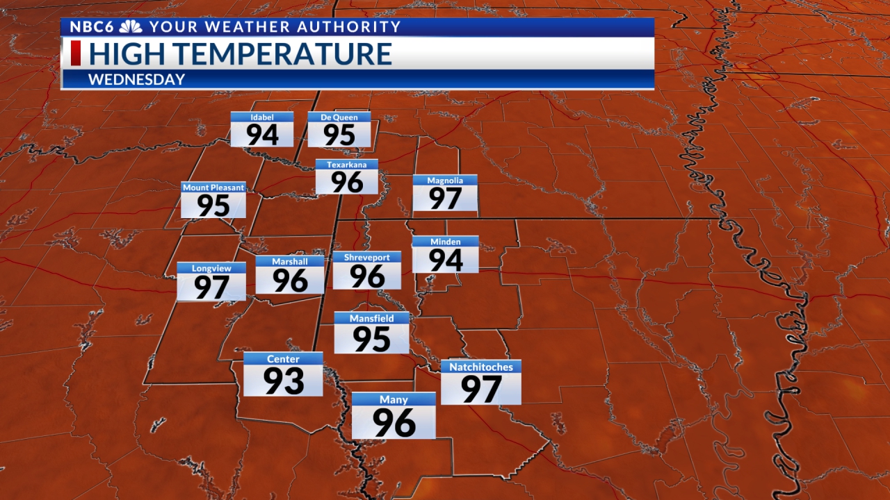
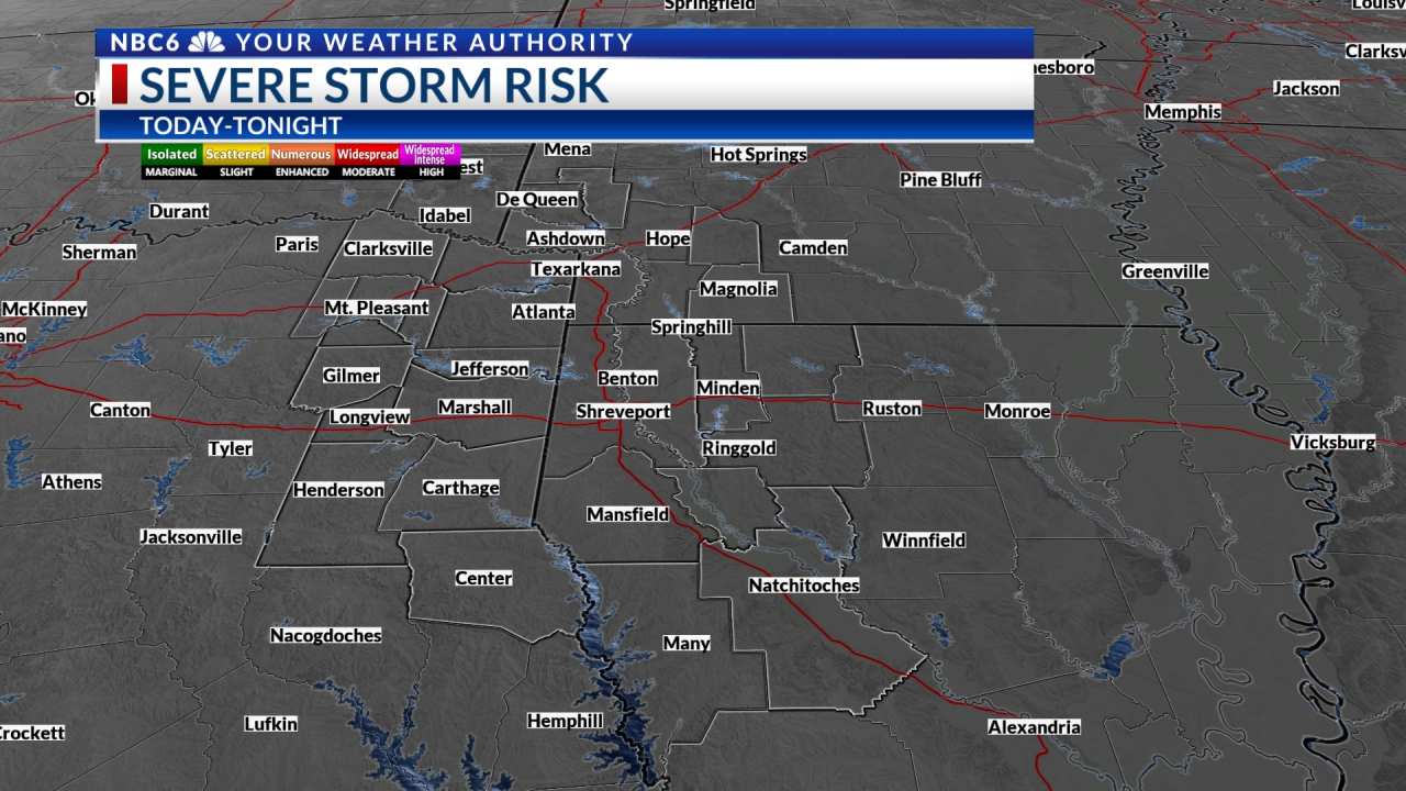
Eyes then turn to Wednesday and Thursday. There are many “what ifs” in the forecast. But, it does appear that an upper-level system, along with a surface low and attendant Arctic cold front, will blast into the Arklatex Wednesday through Thursday. It would be wise to expect severe storms but secretly hope the forecast is a bust! The Storm Prediction Center still has all the ArkLaTex in a Slight Risk (#2 out of #5, the highest risk) of severe storms Wednesday. Cold air spills in behind the Arctic front with morning lows Friday and Saturday at or below freezing. Afternoon high temperatures will be 60 to 65° by Sunday with partly to mostly cloudy skies.


Stay connected with us on social media platform for instant update click here to join our Twitter, & Facebook
We are now on Telegram. Click here to join our channel (@TechiUpdate) and stay updated with the latest Technology headlines.
For all the latest For News Update Click Here

