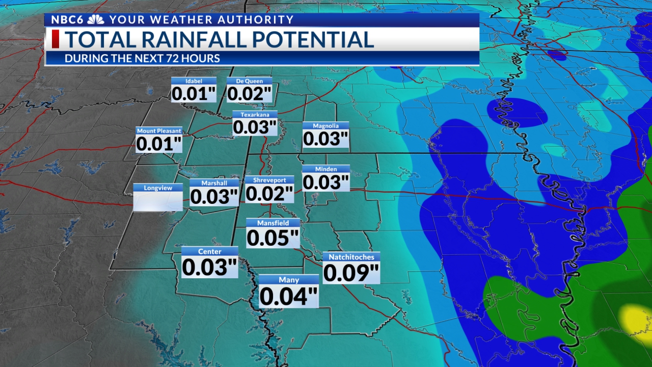
As expected, it has been a dreary and damp day for most of our area. Sorry to say that the outlook for Saturday night through Thursday looks a bit worse.
A surface low with an attendant cold front has begun its eastward trek across Texas and Oklahoma and eventually will move into the ArkLaTex. We are getting plentiful moisture on the heels of a gusty south wind. The low-level jet stream will also yield abundant moisture and warm air. The wind today has been rather gusty and may continue into the overnight hours. Thunderstorms will likely increase late this evening and especially into the overnight hours. This will be due to a disturbance that will head northeast across our area ahead of our approaching cold front. As if this were not enough rain and storms, there will be likely development again Sunday.
As we move into the upcoming week, we find a pattern that will lead to abundant moisture riding up and over our expected cold air at the surface. This is due to our “parent system” in NW Mexico. If it stalls, it could result in a series of disturbances moving our way. This, of course, would lead to tapping into Gulf moisture as well as Pacific moisture. If this does occur, it could lead to a chance of excessive rainfall could develop Monday through Thursday.
In addition, note that temperatures Tuesday night and Wednesday night could dip to or below freezing along and north of the I-30 corridor with possible freezing rain. This will be monitored closely. In the meantime, grab those rain boots, your raincoat (who wears those these days), and your biggest umbrella, before leaving home!

Stay connected with us on social media platform for instant update click here to join our Twitter, & Facebook
We are now on Telegram. Click here to join our channel (@TechiUpdate) and stay updated with the latest Technology headlines.
For all the latest For News Update Click Here


