SHREVEPORT, La. (KTAL/KMSS) – It will be a cold Christmas morning and a chilly Christmas afternoon. We will finally shake this Arctic air early next week, with warmer temperatures and a chance of rain and storms returning during the week.

Near record low temperatures tonight into Christmas morning: Temperatures will plummet into the teens and low 20s tonight, near record lows for Christmas morning (the record low is 20° in Shreveport, and 17° for Texarkana). Skies will be mostly clear and wind will relax at less than 5 miles per hour out of the northwest.

A cold but sunny Christmas: We did manage to warm above freezing in all areas this afternoon, and that will continue on Christmas Day. Highs will be in the low to mid-40s. It will be cold, but the wind will be very light, out of the northwest at 5 miles per hour, so we won’t be dealing with any painful wind-chill temperatures.

High pressure will build directly over the region and will be what cuts off the breezy wind. It will be a mostly sunny day with little more than a few high-altitude cirrus clouds.
Staying chilly through Tuesday, with warmer air returning Wednesday: We will see an increase in clouds Monday and Tuesday as a dry front rolls through the region. It will stay cold with overnight lows in the 20s and highs in the upper 40s and low 50s Monday and Tuesday.
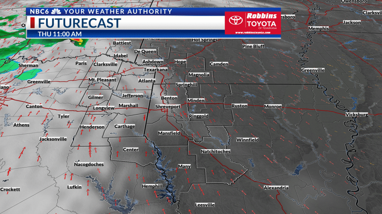
A warm front will move into the ArkLaTex Wednesday spelling the end of our Arctic cold snap. Temperatures will warm into the 60s Wednesday. We will begin to see scattered showers return Thursday, with Friday shaping up to be a day we see widespread rain and thunderstorms. As of right now the threat of severe weather is low, but can’t be ruled out.
The rain looks to taper off on New Year’s Eve, but the models are still disagreeing at this point, so we have kept a slight chance of rain in the forecast through next Saturday.

Get exclusive severe weather details on storms as they approach your area by downloading the Arklatex Weather Authority app, now available in the App Store and Google Play
Stay connected with us on social media platform for instant update click here to join our Twitter, & Facebook
We are now on Telegram. Click here to join our channel (@TechiUpdate) and stay updated with the latest Technology headlines.
For all the latest For News Update Click Here