SHREVEPORT, La. (KTAL/KMSS) – We are expecting a warm and mostly cloudy Thursday across the ArkLaTex. All eyes are on the potential severe weather threat arriving late Friday afternoon into early Saturday morning. All modes of severe weather will be possible, and confidence is increasing that we could see some significant severe weather as well.

Warm with increasing clouds today: Our weather pattern will see a few minor changes today. Morning temperatures will be warmer, in the upper 50s and 60s at sunrise. The warmer early morning temperatures are preventing any dense fog from developing. Highs will reach the low 80s this afternoon. Persistent clouds will hold areas north of I-30 in the 70s.
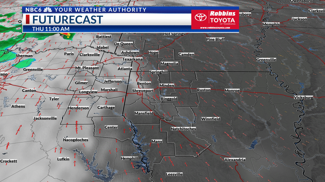
A few stray rain showers may develop at times today, but these showers will be low-impact so your outdoor plans should be safe in nearly all areas.
Severe weather is likely late Friday afternoon into early Saturday morning: A strong Pacific storm system will drive a powerful cold front into the ArkLaTex late Friday afternoon or early Friday evening. This will be an all-hazards severe weather threat, and the confidence is increasing that we will see damaging wind gusts as well as tornadoes.
The threats in order will be: damaging wind gusts, followed by tornadoes, and also large hail (quarter to golf ball sized).

The Storm Prediction Center has upgraded most of east Texas, Oklahoma, and southeast Arkansas into an ‘Enhanced Risk’ severe weather outlook. This is a level 3 threat on the 1 to 5 scale. These enhanced risk areas will have the highest threat of damaging wind gusts in excess of 60 miles per hour, as well as tornadoes. There is a chance for a strong tornado (EF-2+) in these general areas as well. The storms will move into the enhanced risk zone between 5 p.m. and 10 p.m. Friday. which includes Texarkana.
As we get closer to midnight the threat of tornadoes will decrease, but damaging wind gusts will be possible across the remainder of Arkansas and northwest Louisiana. These areas are in the level 2 ‘Slight Risk’ outlook including Shreveport. The storms will be near the Shreveport/Bossier metro by midnight. The severe weather threat will end between 2 and 4 a.m.
Make plans today to be in an area where you can access a safe shelter Friday night. Vehicles and mobile homes are not safe places to protect yourself from severe weather.
This cold front should move quickly enough to keep our rainfall accumulations in the 1 to 2-inch range, so the threat of any flash flooding is low compared to the other severe weather hazards.

Dry air and comfortable temperatures this weekend: There will be no threat of severe weather over the weekend as the rain should be out of here by sunrise Saturday in most areas. Skies will clear during the day with high temperatures in the upper 60s and low 70s. Partly cloudy skies are expected Sunday with highs returning to the mid and upper 70s.

Get exclusive severe weather details on storms as they approach your area by downloading the Arklatex Weather Authority app, now available in the App Store and Google Play
Stay connected with us on social media platform for instant update click here to join our Twitter, & Facebook
We are now on Telegram. Click here to join our channel (@TechiUpdate) and stay updated with the latest Technology headlines.
For all the latest For News Update Click Here