Let me start by saying that the main focus of this discussion will be on Tuesday. That is when we will find a very good chance for severe storms.
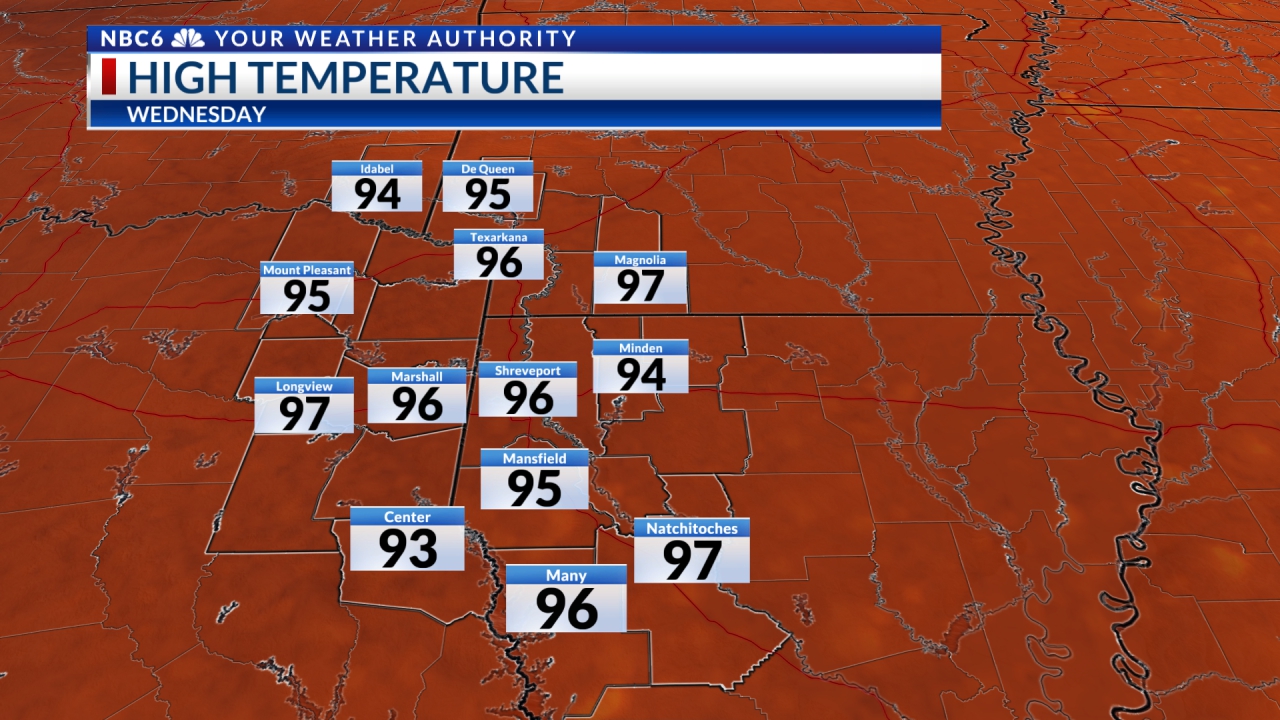
Tonight and Monday will be rather dreary with temperatures near normal. Clouds will hang on for the most part but the sun might peek out occasionally on Monday. High pressure will have moved well to the east of the area by Monday night and a good southeasterly flow will return to the ArkLaTex. When all is said and done our atmosphere will be abundantly moist as we head into the early hours of Tuesday. A huge upper-level trough of low pressure well to our west will continue to contribute to the instability of our atmosphere at all levels. Add to this mix a sharp cold front moving through the Ozarks and North Texas. By early to mid-morning Tuesday, the cold front will be barreling into SE Oklahoma and NE Texas where there will be ongoing strong to possibly severe storms.

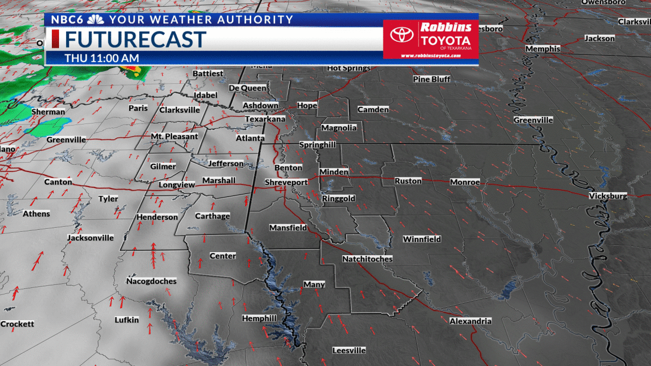
The cold front will make its way through almost all of our area during mid-day into the late afternoon which is a bit faster than originally thought. However, the front may tend to slow down east of ArkLaTex. Considering that scenario, here are the new parameters: There is an Enhanced Risk of severe storms for the southernmost counties of Southwest Arkansas, all of Northwest Louisiana, and several of our bordering Texas counties. The rest of the ArkLaTex, for the most part, is included in a Slight Risk area. The far northwestern ArkLaTex is now under a Marginal Risk. It still appears that all modes of severe weather will be possible including damaging thunderstorm winds and tornadoes.
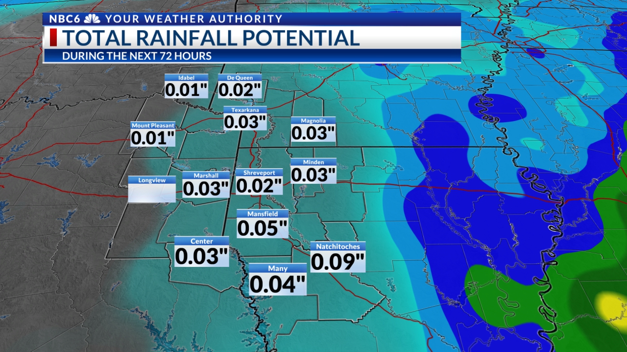
Rainfall potential has changed due to the faster speed of this system The rainfall potential as of now will be in the .25 to 1-inch range.
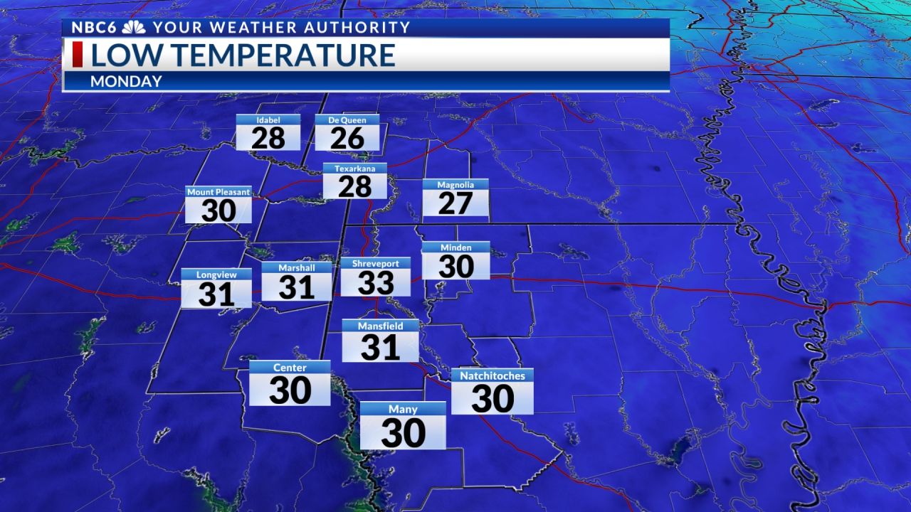

As we talked about Saturday, there will be an initial cool-down behind the cold front with Pacific high-pressure. It will be followed by very cold high-pressure as we head into the weekend. This will likely yield near or below freezing temperatures. Do remember that the following week will be quite wet, with chances of rain possibly lasting into Christmas Eve and Christmas Day. If there are even slight chances of precipitation near Christmas, some morning lows in the ArkLaTex may be near or below freezing. I don’t want to be the Grinch, but I have to say that I do look good in green…just saying!
Stay connected with us on social media platform for instant update click here to join our Twitter, & Facebook
We are now on Telegram. Click here to join our channel (@TechiUpdate) and stay updated with the latest Technology headlines.
For all the latest For News Update Click Here