In the game of golf, if you get the ball close to the cup, it is called a “Gimme” (Give me a freebie). Your Monday is just that…a freebie! Sunday has been absolutely fantastic and your Monday is looking just as nice.
In the meantime, a very potent upper-level trough of low pressure is building in the Rockies and will result in a southwesterly flow in the upper levels of the atmosphere. In other words, the upper atmosphere will be soggy for much of the southern states including the ArkLaTex. In addition, a surface low-pressure system will develop late Monday in the central plains which will bring surface moisture surging into the region.


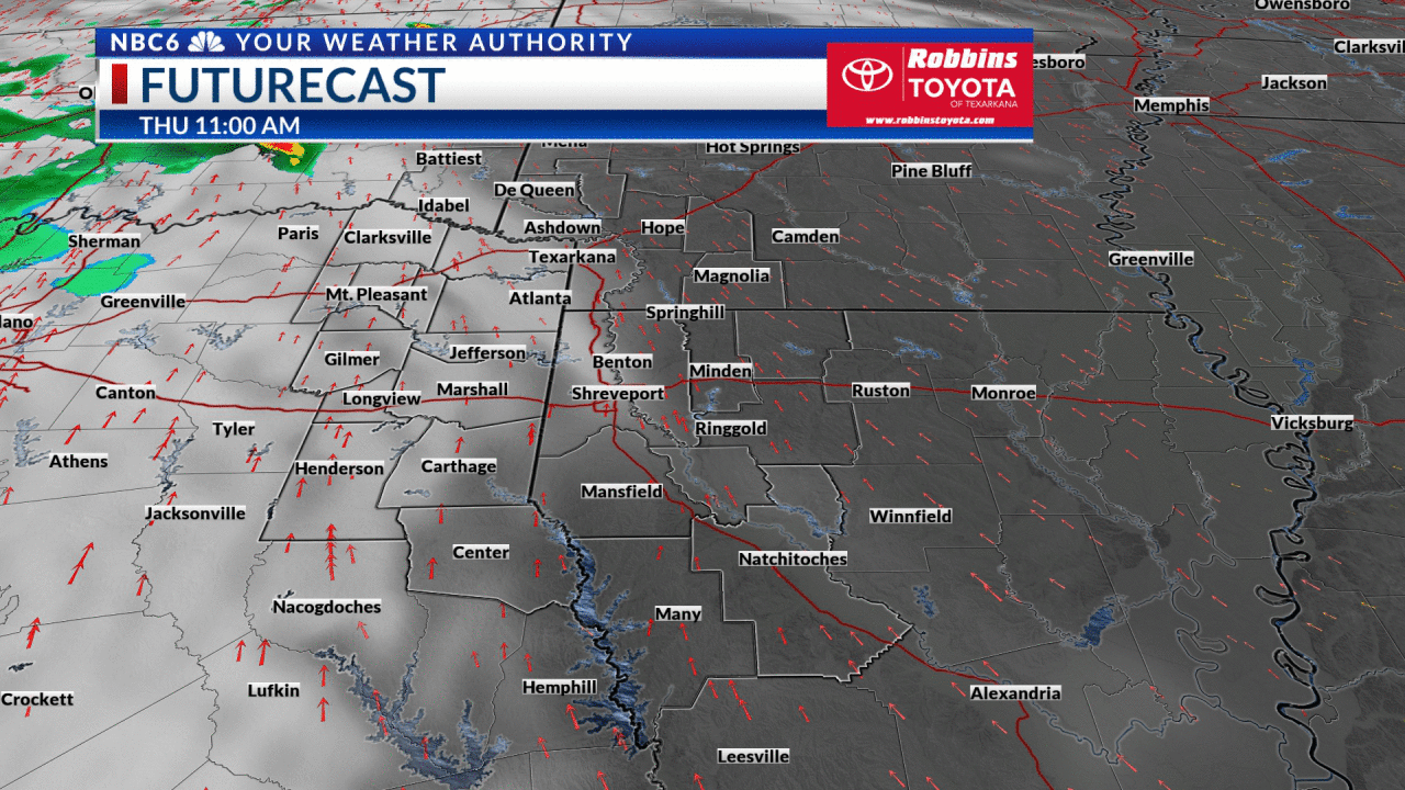
At this point, it appears that everything is coming together for a severe weather threat on Tuesday. Here is how everything is looking for the Arklatex. The Storm Prediction Center has the extreme northwestern parts of our area in a Marginal Risk for severe storms. Most of Southwest Arkansas, Northeast Texas, and Northwest Louisiana is in a Slight Risk of severe storms. Our easternmost parishes in Northwest Louisiana are in an Enhanced Risk of severe storms. Damaging thunderstorm winds and hail will likely be our main threats. But isolated tornadoes may be found. It appears, though, that tornadic activity will be much more likely to our east. At this point, nothing is set in stone. This potential event will be monitored closely.

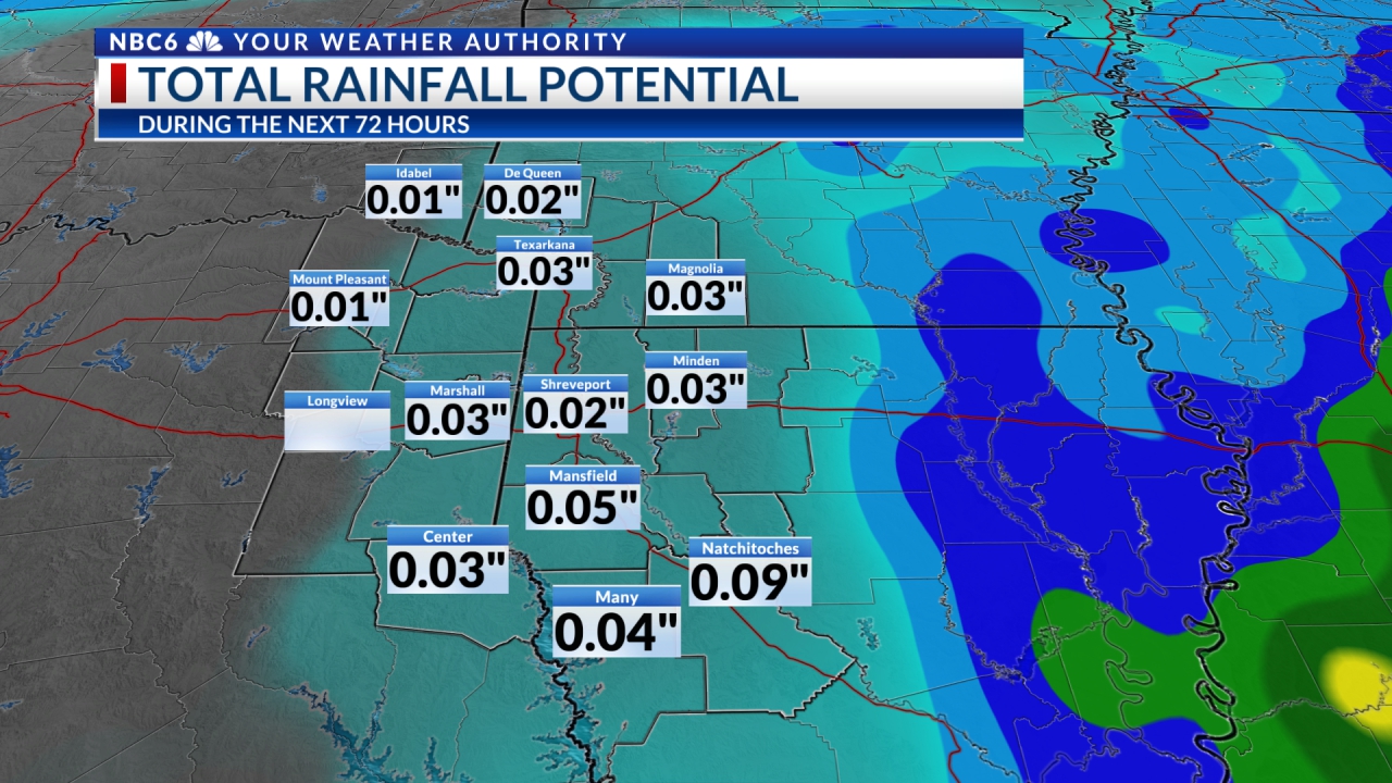
In the meantime, your 7 Day Forecast shows a cold front moving through the area late Tuesday bringing quite a chill. Thursday morning lows will be either side of freezing. In addition, unsettled weather will be found this upcoming weekend and will continue throughout the following week! I, for one, say, “Enough Is Enough!”
Stay connected with us on social media platform for instant update click here to join our Twitter, & Facebook
We are now on Telegram. Click here to join our channel (@TechiUpdate) and stay updated with the latest Technology headlines.
For all the latest For News Update Click Here