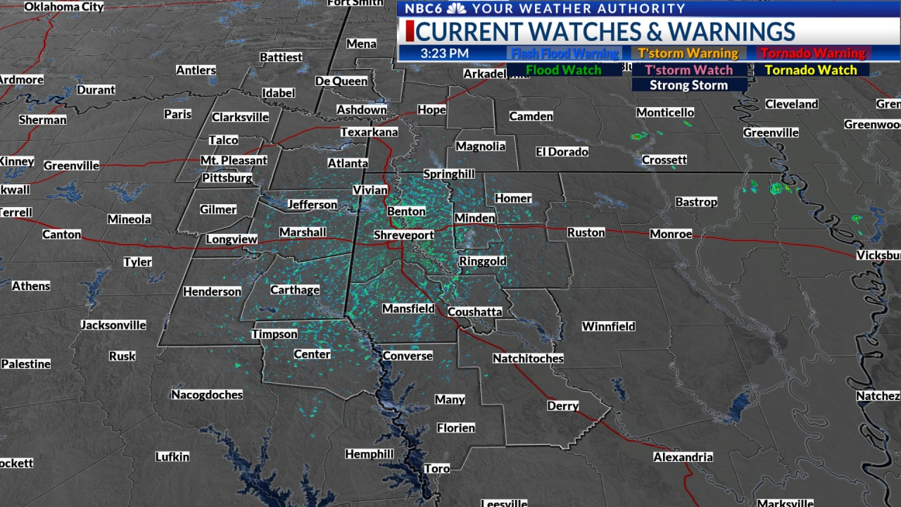
Late Evening Update: A Tornado Watch continues for the southern edge of the area until 1 am. The next round of thunderstorms is approaching the western edge of the area and will move through during the next several hours. It appears that the worst of these storms will track SW of the ArkLaTex into SE TX and S LA tonight. We could still see some wind issues with this activity over the southern half of the area from 10 pm to 3 am. An isolated tornado cannot be ruled out over the southern edge of the area. We will also have to watch for some isolated flooding as another 1-2″ of rain will be possible on top of the 1 – 4″ that has already fallen in spots.
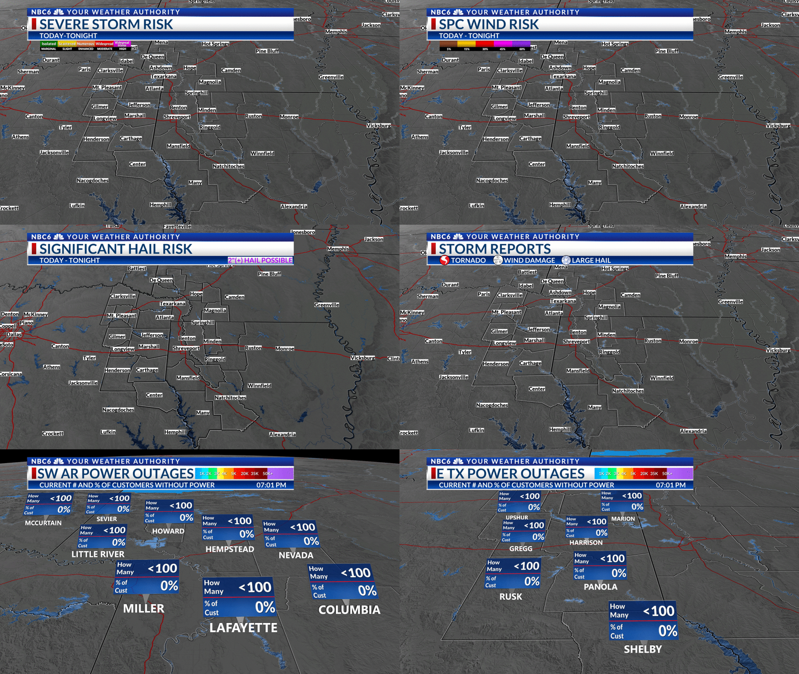
SPC Outlook: The ArkLaTex will see a chance of severe weather that could begin as soon as early Wednesday evening, but most likely the biggest severe weather threat will be later Wednesday evening and Wednesday night. The Storm Prediction Center indicates that most of the area will have a slight to enhanced risk that will be highest over the western half of the area. All severe weather threats will be possible with the biggest risk coming from damaging straight-line wind.
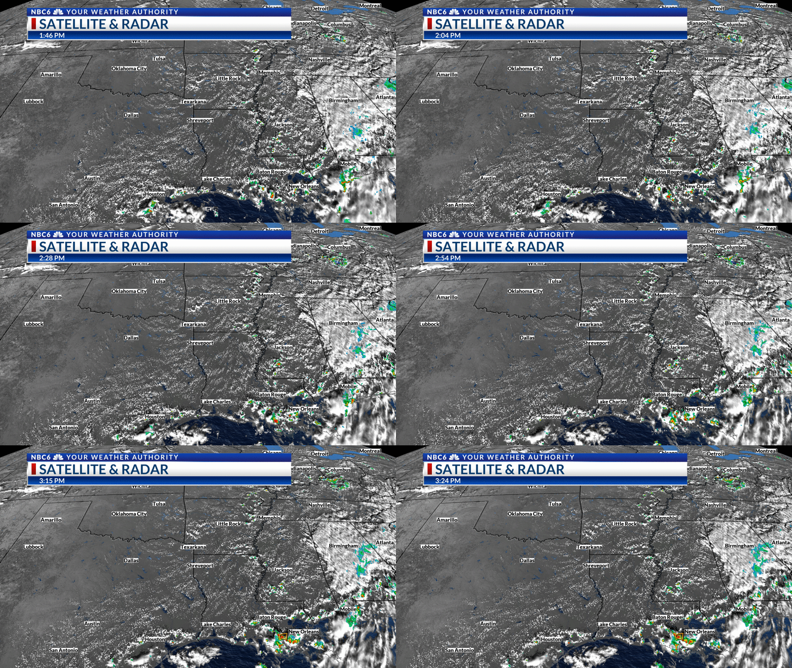
Storm timing: We will likely see a few scattered storms develop near a warm front mainly over East Texas late Wednesday afternoon and evening. The latest run of Futurecast shows these storms moving across NE TX & NW LA north of I-20. Other hi-res models show that these storms will track across E TX and NW LA south of I-20. A lot will depend on where they eventually develop. A complex of storms will likely develop to our west and move across the southern parts of the ArkLaTex during the night. These storms will likely be strongest over the southwest half of the area. Damaging wind will be the biggest issue with some hail and a tornado or two possible. We will likely have some lingering rain over the parts of the area Thursday morning. This rain will end and we could end Thursday with some sunshine.
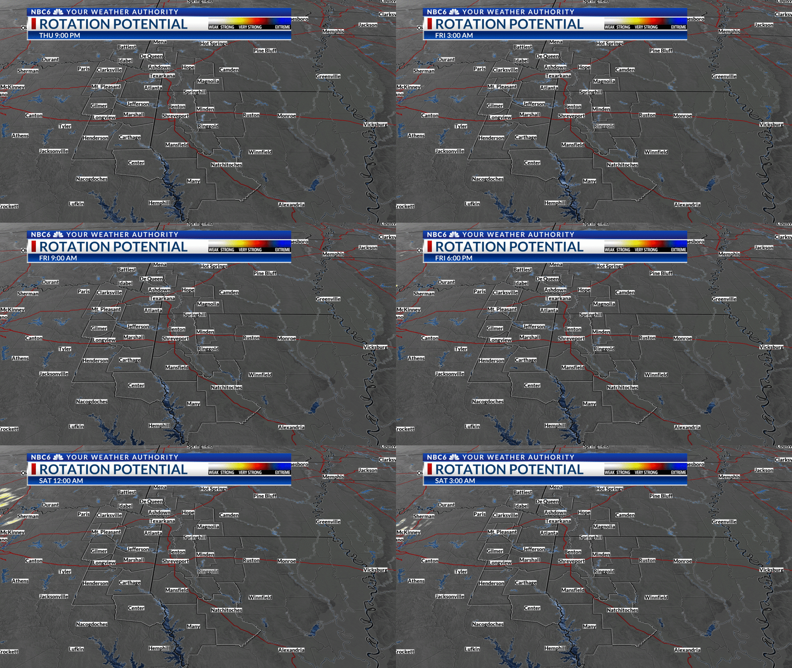
Tornado risk: It still appears that if we have any tornadoes in the ArkLaTex, they will occur over the western half of the area probably west of both Shreveport and Texarkana. Futurecast shows that the risk will be very low, other models indicate that the risk will be highest over East Texas near and south of Interstate 20.
Rainfall potential: There is a great deal of model disagreement on how much rain we could see around the area and where it will be heaviest. Futurecast shows that much of the area will receive amounts in the range of one to two inches. It is possible that we could see isolated reports of over three or more inches. Rain totals will likely be highest over the southwestern half of the area where the storms will be strongest.
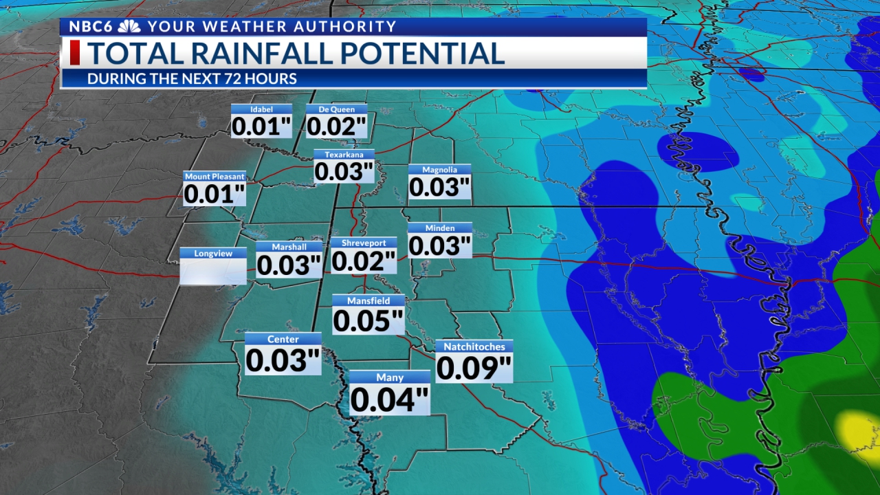
Long-range outlook: Once we get the storms out of the ArkLaTex Thursday, our attention will turn to our next disturbance that will bring a quick shot of rain Friday night into Saturday. A drier weather pattern will begin Sunday and last until the end of next week. The threat of showers and thunderstorms will likely begin to increase next Thursday and Friday. Weekend temperatures will be rather pleasant with highs in the 70s. We will likely warm into the low to middle 80s through most of next week. Overnight lows will be in the 50s to begin next week and end in the 60s later in the week as moisture increases from the Gulf of Mexico.
Get daily forecasts and exclusive severe weather details on storms as they approach your area by downloading the Your Weather Authority app now available in the App Store and Google Play
Stay connected with us on social media platform for instant update click here to join our Twitter, & Facebook
We are now on Telegram. Click here to join our channel (@TechiUpdate) and stay updated with the latest Technology headlines.
For all the latest For News Update Click Here
