SHREVEPORT, La. (KTAL/KMSS) – We have officially turned the page to Fall today, but we will be dealing with lingering Summer heat through the weekend. Pleasant and cooler weather is expected for much of next week, but there is also a possibility that we’ll be monitoring a Tropical Storm or Hurricane in the Gulf Of Mexico next week.
High temperatures near 100 degrees today: This will be the hottest welcome to Fall that we’ve had in recent memory. Highs will be in the mid to upper 90s with a few areas reaching triple digits this afternoon.
There is a weak front that will move thorugh today. It will drop our humidity enough that our heat index should remain between 100 and 102 degrees, so it won’t feel any worse than yesterday when highs were also in the mid to upper 90s. Wind will be light, turning from the south this morning to the north later in the day at 5 to 10 miles per hour.
The record high for the date is 101 degrees in Shreveport, and 99 degrees in Texarkana.

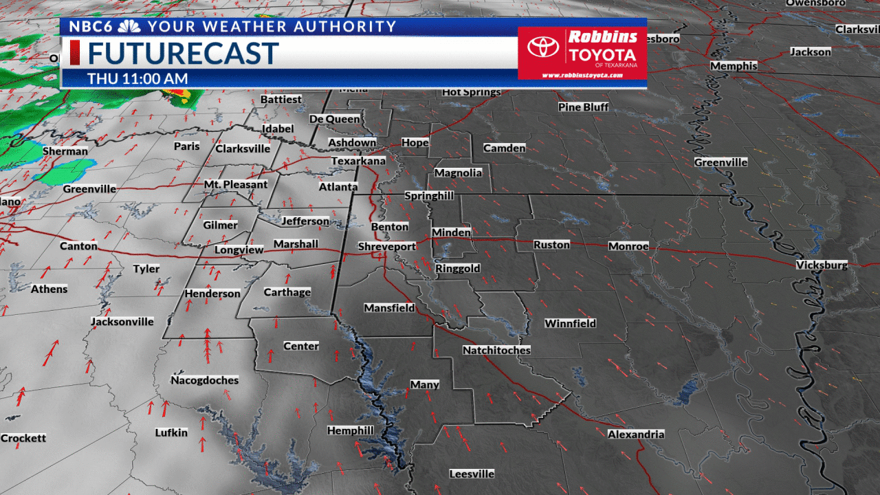
Futurecast and a few other forecast models have been showing the potential for a late-day rain shower to develop north of I-30 near the Ouachita Mountains in Arkansas. Given the dry air at all levels of the atmosphere, this would be a long shot, but we may have a few extra clouds today leaving us partly cloudy at times.
Our next cold front arrives late in the weekend: Temperatures will drop into the 60s tonight and highs Fridays will be in the mid-90s. It will stay hot, but we will finally be out of ‘record-high territory’. Temperatures may warm a few degrees this weekend ahead of a stronger cold front set to arrive late Sunday.
The front will not bring much rain, but there is a very slight chance for scattered showers Sunday into Sunday night.
This front will bring major heat relief as highs will fall into the 80s for much of next week with humidity going away as well. Overnight lows will be cooler, in the 50s and 60s for much of next week.
Tropical uncertainty late next week: The National Hurricane Center continues to monitor a tropical wave in the Caribbean that will likely become a named Tropical Depression or Tropical Storm soon. Conditions are favorable for this storm to intensify over the next week as it eventually emerges in the Gulf Of Mexico.

The forecast models show this storm intensifying into a possible hurricane next week. Everyone from Texas to Florida, including the ArkLaTex needs to keep an eye on this situation. If this did make landfall in the northern Gulf it wouldn’t be until late next week.

Get exclusive severe weather details on storms as they approach your area by downloading the Arklatex Weather Authority app, now available in the App Store and Google Play
Stay connected with us on social media platform for instant update click here to join our Twitter, & Facebook
We are now on Telegram. Click here to join our channel (@TechiUpdate) and stay updated with the latest Technology headlines.
For all the latest For News Update Click Here