SHREVEPORT, La. (KTAL/KMSS) – It will be a full Spring takeover this week as there will be quite a few warm days between now and next weekend. There is one decent chance for storms coming in Wednesday, with some potential for a few strong to severe storms.

Windy and warm today: Hold on to your hats, it will be a very windy day. Temperatures will be comfortable, in the 60s and 70s for much of the morning under mostly cloudy skies. The warm and humid wind off the Gulf Of Mexico will keep our skies mostly cloudy throughout the day. Highs will be in the upper 70s and low 80s with frequent wind gusts up to 35 miles per hour. A Wind Advisory is in effect until 6 p.m. for all areas.

Breezy and warm Tuesday, with storms returning Wednesday: The wind will keep going tomorrow which will keep us unseasonably warm and humid, highs will be in the low to mid-80s. That is almost 20 degrees above average for late February.
While we could see a few spotty rain showers tonight and tomorrow, the best chance for rain will arrive Wednesday. An area of low-pressure swinging out of the Pacific will nudge a few storms into the ArkLaTex. There will be a few ingredients for severe weather, and as a result, the ArkLaTex is in the level 1 ‘Marginal Risk’ outlook for severe storms. This means 1 or 2 severe storms will be possible, but widespread severe weather is not expected. A damaging wind gust will be the main threat.

Cooler Thursday and Friday with Spring weather returning for the weekend: You know we are headed into Spring when this week’s cold front only drops highs in the 60s late in the week.
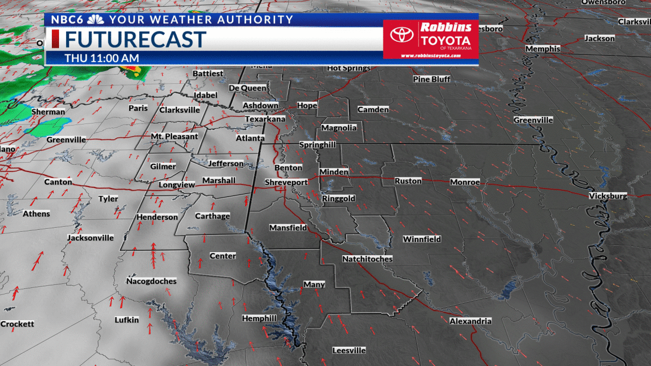
Our best chance of sunshine will be Thursday as dry air takes over for 24 hours. Clouds will increase Friday through the weekend as a warm front brings warmer temperatures in the upper 70s Saturday and Sunday. The weekend will not be a washout, but a few showers will be possible each day.
Rainfall accumulations over the next 7 days will average .10 to .50 inches. These lighter amounts will let our lake and river levels slowly recede throughout the week.

Get exclusive severe weather details on storms as they approach your area by downloading the Your Weather Authority app, now available in the App Store and Google Play
Stay connected with us on social media platform for instant update click here to join our Twitter, & Facebook
We are now on Telegram. Click here to join our channel (@TechiUpdate) and stay updated with the latest Technology headlines.
For all the latest For News Update Click Here