SHREVEPORT, La. (KTAL/KMSS) – The winds of change will blow into the ArkLaTex today, quite literally, as it will turn breezy as a warm front moves into the region. This will kick the Arctic air out of here this afternoon, and set the stage for rain and thunderstorms to return Thursday afternoon into Thursday night. A few strong storms will be possible, with confidence increasing that we may see another threat for severe weather early next week.
Frosty morning and thawing this afternoon: Sunrise temperatures will be in the 20s and low 30s so the Arctic air is still out there. An increase in the dewpoint temperatures (humidity) is bringing widespread frost, so if your car is parked outside the windshield will need a scrape or a few extra minutes to defrost.

Our warm front will arrive later this morning and you’ll notice the winds pick up and an increase in cloud cover. High temperatures will be in the low to mid-60s with a south wind gusting 20 to 25 miles per hour. Rain is not expected today, but we may begin to see a few showers overnight. Low temperatures will be in the 50s, so you don’t have to keep the pipes or plants covered for the rest of the week.

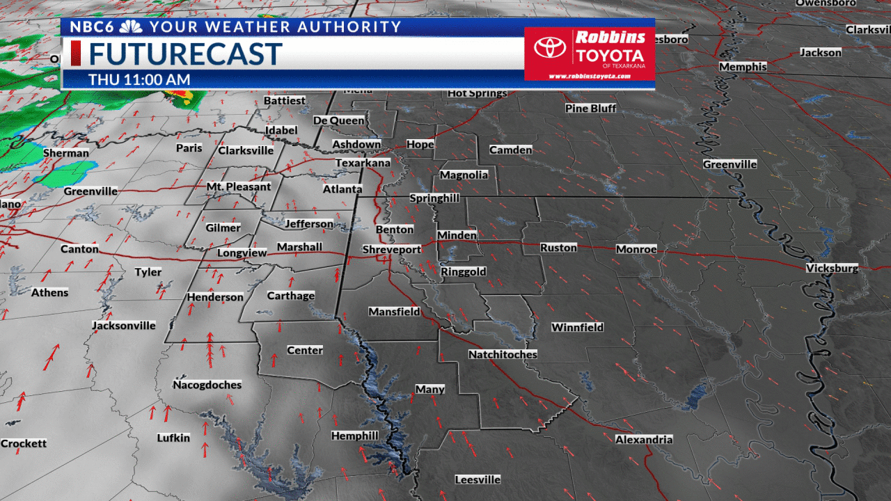
Severe thunderstorms possible Thursday afternoon into Thursday night: Today’s warm front will bring the warm temperatures and humidity needed for thunderstorms to develop tomorrow. The trigger for the storms will be a strong Pacific arriving late Thursday.
The Storm Prediction Center has the ArkLaTex in a ‘Marginal Risk’ outlook. On a 1 to 5 scale, with 5 being the most dangerous, this is a level 1 setup. This means any severe weather will be isolated rather than widespread. The main threat will be a damaging wind gust, but there is a small window during the late afternoon and early evening where a brief tornado could spin up. The severe weather threat will be highest in Texas and Oklahoma during the late afternoon and early evening (4-7 p.m.), with the threat shifting into Arkansas and Louisiana between 7 p.m. and midnight.

In addition to a strong storm or two, we could see heavy rainfall. Forecast models are in great agreement that we will see 1 to 2 inches of rain, but the storms will be slow-moving which means there is potential for higher amounts.
A warm and dry New Year’s weekend: Rain will end Friday morning and we will be dry for the remainder of the day and through New Year’s weekend. New Year’s Eve and New Year’s Day high temperatures will be in the low 70s under partly to mostly cloudy skies. Midnight temperatures as we enter the New Year will be in the mid to upper 50s.

Higher potential for severe storms early next week: A strong cold front will move into the ArkLaTex next Monday evening. Even though we are 5 to 6 days out, confidence is increasing in the threat of severe thunderstorms and another 1 to 2 inches of rainfall.
Rainfall accumulations through next Monday night will average 2 to 4 inches across much of the region, accounting for the storms tomorrow and early next week.


Get exclusive severe weather details on storms as they approach your area by downloading the Arklatex Weather Authority app, now available in the App Store and Google Play
Stay connected with us on social media platform for instant update click here to join our Twitter, & Facebook
We are now on Telegram. Click here to join our channel (@TechiUpdate) and stay updated with the latest Technology headlines.
For all the latest For News Update Click Here