Our oppressive and dangerous heat will likely hang on through at least Friday. However, relief is on the way. As of now, a strong upper-level high remains the dominant feature for most of the south including the ArkLaTex. An Excessive Heat Warning expired at 8 PM this evening for all of our area. Afternoon high temperatures today were, in general, either side of 100°. The “Feels-Like Temperatures” were near 110°.

Low temperatures tonight will remain, for the most part, in the mid to upper 70s with a few 80° temperatures far south. Things will start to take shape Friday night that will likely shove our upper-level high westward and away from the ArkLaTex. The “Hero” will be an upper-level trough of low pressure and attendant cold front. This system should be moving through the Ouachita Mountains of SE Oklahoma and SW Arkansas by late Friday and slipping southward into the rest of our area Saturday. The heat may not subside until Friday night into the weekend.


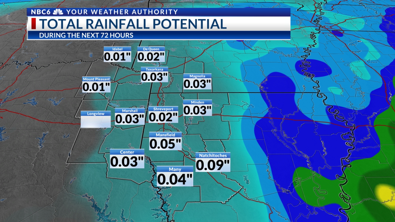
The 7 Day Forecast indicates a modest chance of rain, especially Friday night for the I-30 Corridor and much of the ArkLaTex Saturday before ending late Saturday night into Sunday.

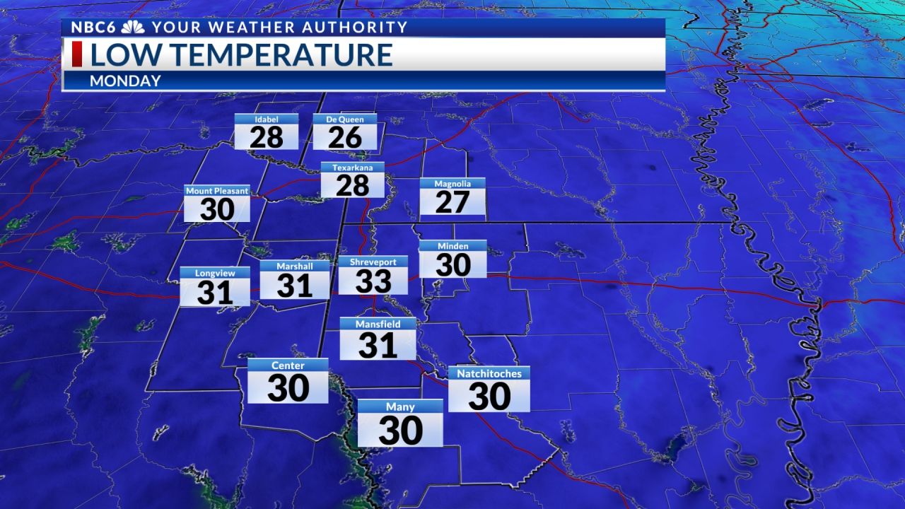
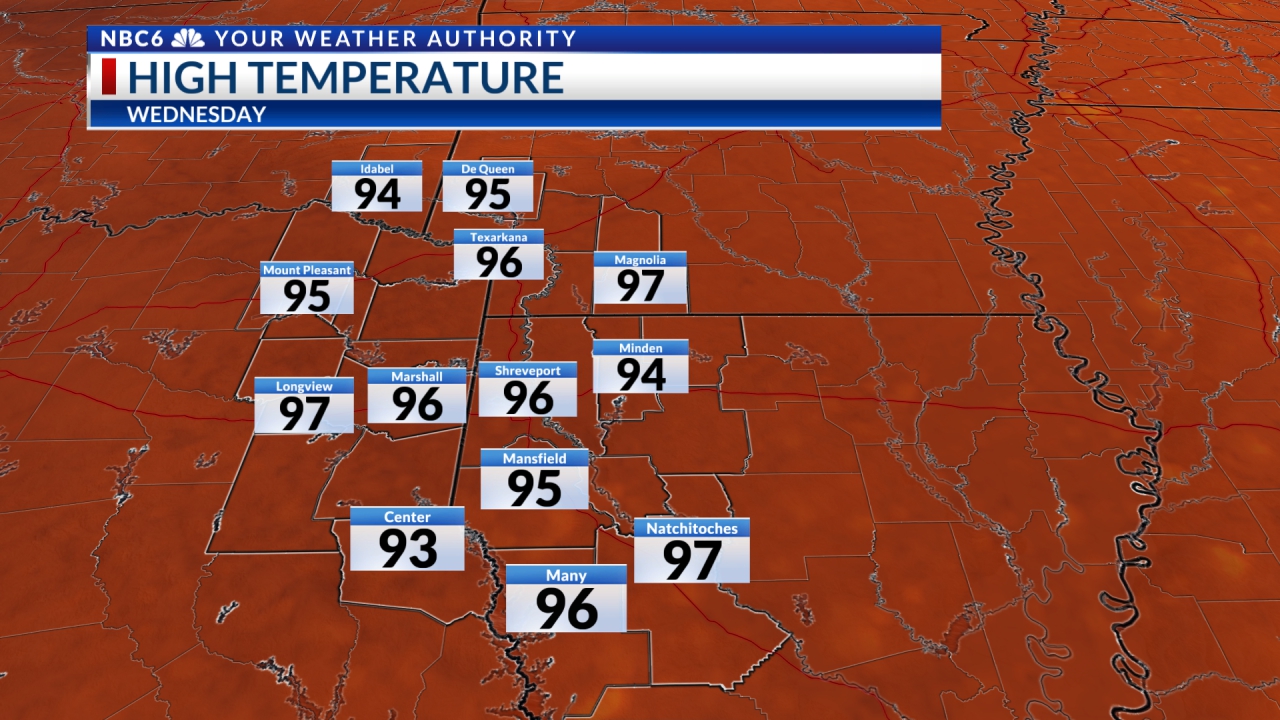
Another exciting 7 Day Forecast note is that we may find, in general, morning lows in the mid-70s and afternoon highs in the mid-90s. Keep your fingers crossed!!

Stay connected with us on social media platform for instant update click here to join our Twitter, & Facebook
We are now on Telegram. Click here to join our channel (@TechiUpdate) and stay updated with the latest Technology headlines.
For all the latest For News Update Click Here
