It was fantastic to wake up to a very cool morning this Saturday. Northwest winds behind yesterday’s cold front should last through today becoming northeasterly on Sunday.
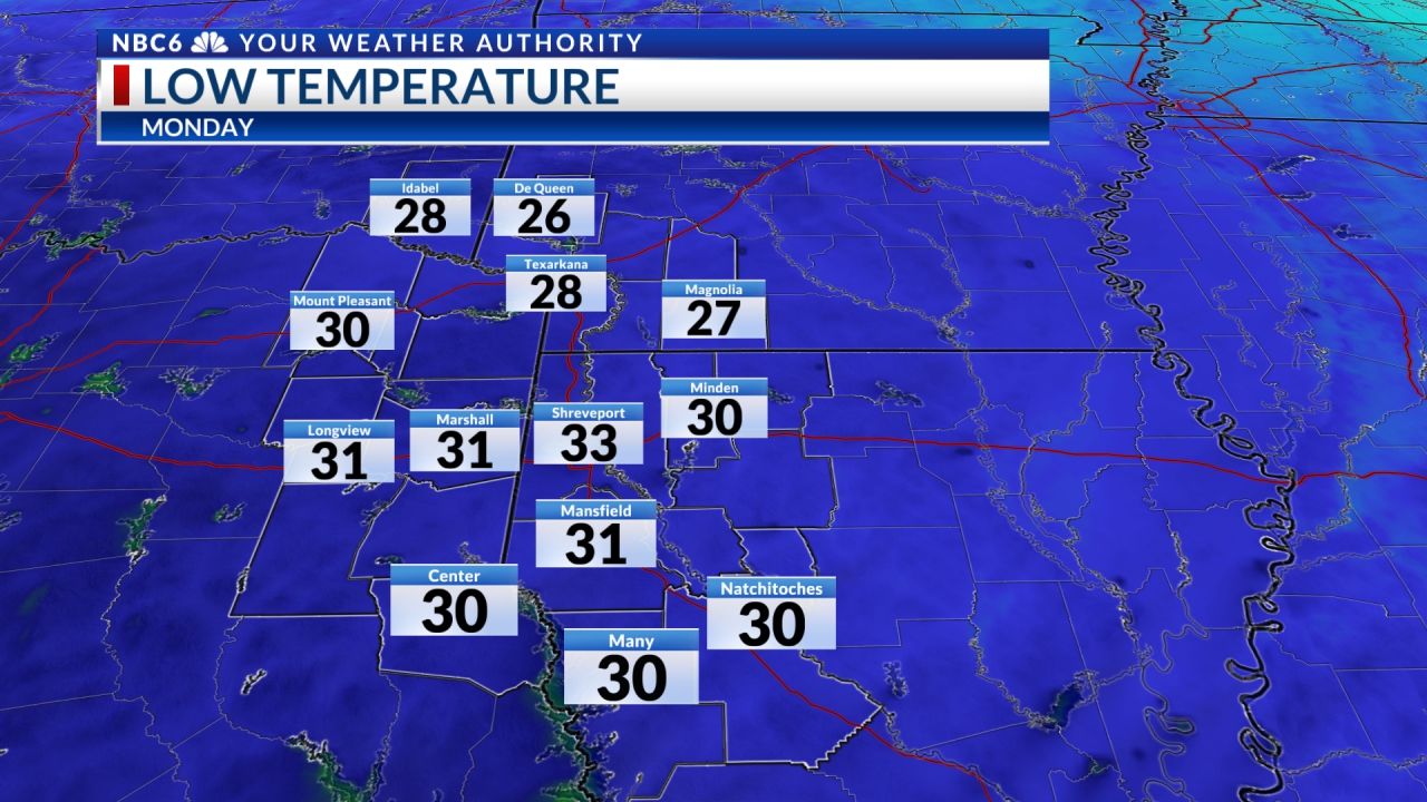
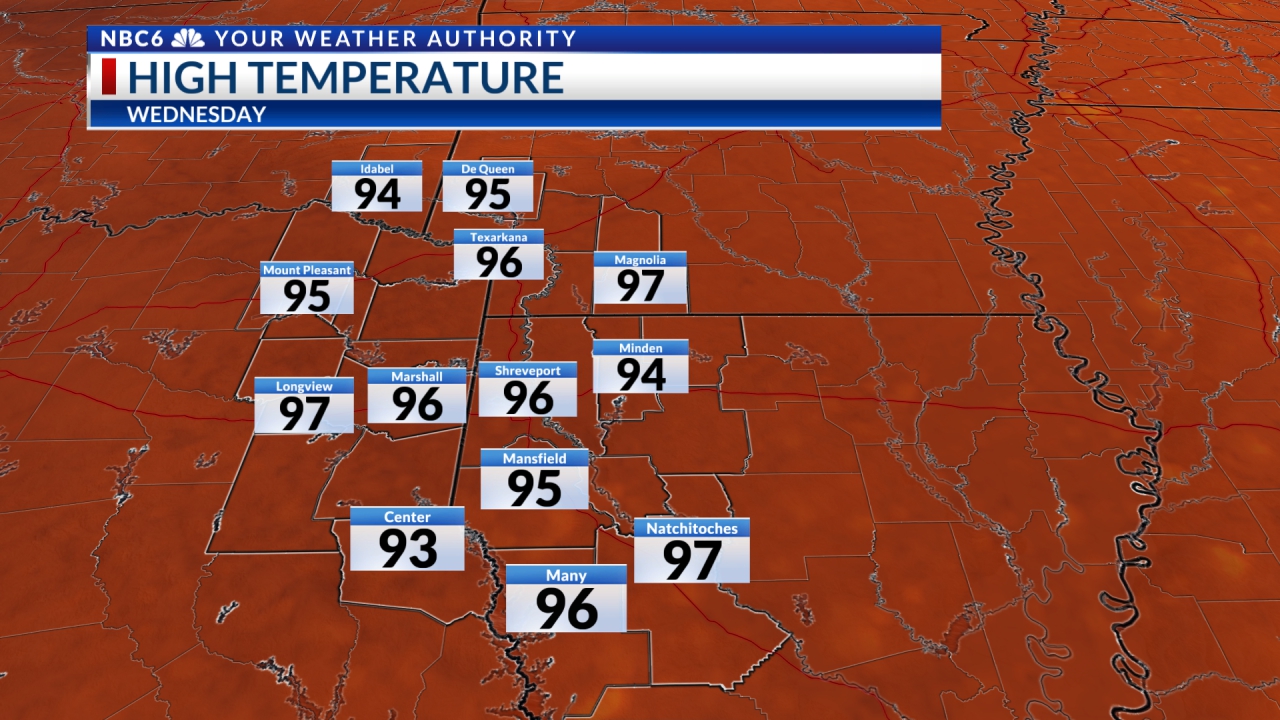
High pressure moved in quite rapidly and will last through at least Sunday afternoon before moving to the east with a warm-up and moisture flowing into the ArkLaTex on the heels of southeasterly winds. Morning low temperatures will rise from the mid-50s on Monday to the upper 50s on Tuesday and Wednesday followed by afternoon highs rising from the low 80s on Sunday to the mid-80s Monday and Tuesday.
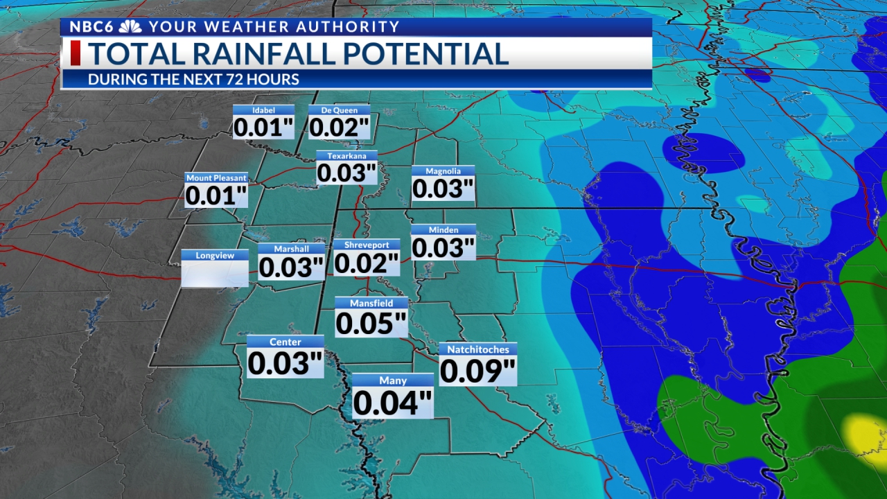
By Wednesday, a strong cold front will begin to make a move into our area. It appears that the warm and moist air will ride up and over the cooler air mass leading to welcome rain and storms for Wednesday and Wednesday night with a good chance of showers continuing through Thursday morning. The sun should return by Thursday afternoon.

The remainder of the forecast will find morning lows in the 40s to near 50 followed by afternoon highs in the mid to upper 70s. At this point, it appears there may be another burst of chilly air as we head into the following week. To have both rain and great fall weather is most welcome! Do remember that outdoor burning combined with dry underbrush and breezy conditions could lead to wildfire dangers. The rain this week should help this situation.
Stay connected with us on social media platform for instant update click here to join our Twitter, & Facebook
We are now on Telegram. Click here to join our channel (@TechiUpdate) and stay updated with the latest Technology headlines.
For all the latest For News Update Click Here


