Rain threat to decrease Friday & increase early next week
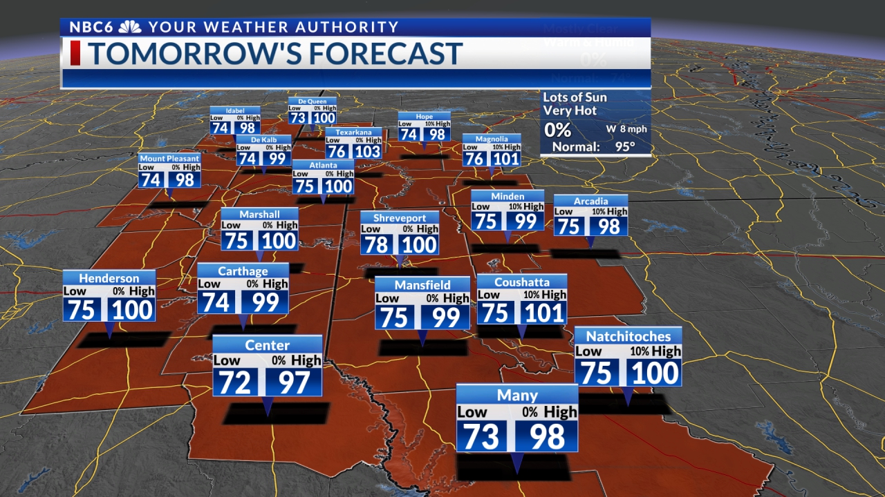
After experiencing more widespread showers and thunderstorms Thursday afternoon and evening, the ArkLaTex will see some hot and drier weather for a few days. A few more rounds of storms could return from possibly late Saturday into Tuesday.

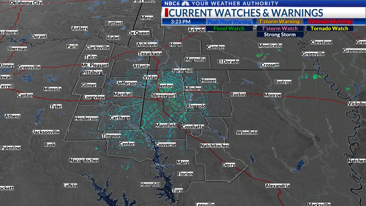
Today’s rain wraps up late this evening: As we have seen over the past few days, thunderstorms have developed over much of the ArkLaTex as temperatures have warmed into the low 90s. Most of this activity is driven by the heat of the day and should begin to decrease this evening as we start to cool down and end Thursday night. It is still possible that a few of the storms could be strong to severe. Any severe weather should be rather isolated with damaging wind the biggest concern. Both Futurecast and the HRRR model show that the heaviest rain and strongest storms could come later in the day today compared to what we have seen in the past few days.

Both show that the storms will likely reach their peak in both coverage and intensity early Thursday evening and that the heaviest rain will move out of the area and end very late Thursday evening. We will likely then settle into a rather dry weather pattern for the next few days with most of our area staying dry. A stray shower or thunderstorm will be possible with the best chance occurring over the northeastern edge of our area.

How much rain? Both Futurecast and the HRRR show that most of the area will see limited rainfall amounts that will probably be less than ½”. As we have seen over the past few days, there will be pockets that receive anywhere from one to nearly three inches. Flooding will likely not be much of a concern, but an isolated report of flooding due to heavy rain can’t be ruled out.

More rain Saturday into Tuesday: Our next chance for thunderstorms will potentially begin possibly as soon as Saturday and continue into Tuesday. Upper-level high pressure to the west of the ArkLaTex will combine with a developing upper-level trough over the NE US to produce a northwesterly upper-level flow. Storms that typically develop over the Plains during the afternoon could move through the area from time to time during this period. Severe weather will be possible, but it’s still too early to determine the extent of any risk.

Hot & dry later next week: By the middle of next week, the upper-level ridge will expand enough to the east that any storms will probably move to the north and east of our area. Consequently, we are looking mainly dry for the rest of next week and next weekend with only a slight chance for isolated storms returning by next weekend. It will get hotter during this period as daytime highs will warm into the upper 90s. Overnight lows will warm into the upper 70s.
Stay connected with us on social media platform for instant update click here to join our Twitter, & Facebook
We are now on Telegram. Click here to join our channel (@TechiUpdate) and stay updated with the latest Technology headlines.
For all the latest For News Update Click Here
